
















The lower ground level is a height-related technical term from surveying, construction execution, and deconstruction. It defines the lower, relevant boundary of the terrain profile in a given area. It is central for planning, safe excavation pits, concrete demolition and deconstruction, and gentle rock removal. In many projects it influences the choice of methods and tools – for example in selective demolition with concrete demolition shear or in low-vibration separation with rock and concrete splitters – and provides a binding reference for measures in concrete demolition and special demolition, in building gutting and cutting, in rock excavation and tunnel construction, in natural stone extraction, as well as in special applications. In professional usage, the term is also encountered as bottom grade or formation level when describing the planned lowest terrain contour.
Definition: What is meant by the lower ground level?
The lower ground level (often abbreviated LGL) is the lower, decisive boundary line of the terrain profile in a section or plan. It serves as a vertical reference elevation to clearly define the position of excavation pit bottoms, undersides of foundations, toes of slopes, alignments, pipe inverts, or removal limits. In contrast, the ground level (finished grade) is the upper boundary of the terrain surface. Lower ground level can refer to the existing condition (as-is) or to a planned target condition, for example after removal or after a temporary relocation of soil. In practice, it functions as the binding height reference for coordination between design, surveying, and execution.
- Typical references to LGL: excavation bottoms and formation levels
- Undersides of slabs and foundations at slope toes
- Pipe inverts, channels, and drainage trenches
- Removal limits in selective demolition and in rock faces
Technical classification and delineation
The lower ground level is not a component edge but a topographic reference line. It differs from “underside of foundation,” “underside of slab,” or “underside of base,” which are defined as component edges. In drawings, the lower ground level is specified as an elevation value, usually referenced to an official vertical datum or to a project-specific zero level. Precise definition avoids misunderstandings regarding excavation quantities, slope angles, and safety verifications. In construction practice, the lower ground level is often used for planning working spaces, for installing drainage, and for selecting low-vibration removal techniques. Clear graphical conventions increase readability and reduce interpretation errors.
- Representation in plans: elevation marks with units and datum reference
- Distinct line styles or color coding for existing vs. target LGL
- Explicit stationing and cross-section references for reproducibility
Determination and surveying of the lower ground level
Determination is carried out by surveying the terrain geometry and deriving the lower relevant profile edge. Deviating from the purely minimal value over an area, the lower ground level is professionally interpreted in construction as describing the planned or existing lower contour of usable or stable terrain. Accuracy and reproducibility are crucial, as multiple trades are coordinated. Where applicable, digital terrain models are used to derive the LGL consistently across sections and plan sheets.
Existing survey and measurement methodology
For existing conditions, leveling, total station surveying, and GNSS are used. In complex situations – such as at break edges, in rocky terrain, or in shored excavation pits – laser scans and profiling at short station intervals provide a reliable terrain profile. Traceable documentation of benchmarks, instrument accuracy, and chosen reference elevations is important. Where line-of-sight allows, photogrammetry complements terrestrial data sets to densify the model.
- Good practice: close levelling loops and record closure errors
- Fix durable benchmarks outside potential disturbance zones
- Report coordinate system, vertical datum, and applied geoid models
Planning: target definition and tolerances
The target lower ground level is derived from design profiles, earthwork plans, and safety verifications. Tolerances consider workability, settlements, and protective clearances, e.g., to the groundwater table. For demolition and separation work, a conservative tolerance strategy is recommended to stabilize slopes and avoid conflicts with utilities. Where required, target corridors are specified instead of single lines to reflect construction methodology.
- Tolerance drivers: subsoil stiffness, water conditions, and required construction sequence
- Minimum cover over utilities and foundations
- Frost protection, drainage gradients, and filter layer build-ups
Influence on method and equipment selection in deconstruction
The position of the lower ground level controls accessibility, stability, and the permissible energy input. Steep slopes or deep lower ground levels require low-vibration, precise methods. Here, concrete demolition shears and low vibration rock and concrete splitters play to their strengths, because they separate selectively, generate low vibrations, and allow controlled removal steps. Defined LGL constraints also influence sequencing, working platforms, and the need for temporary shoring.
- Decision criteria: allowable vibration levels at slope toes and nearby structures
- Access widths and bearing capacity of working areas at or above LGL
- Required cut precision at component edges and interfaces
Selective demolition with concrete demolition shears
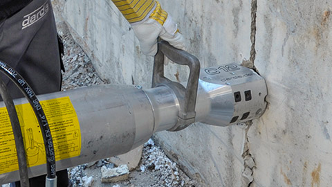
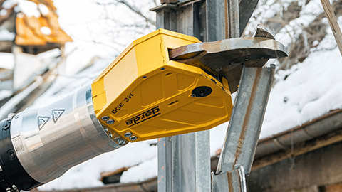
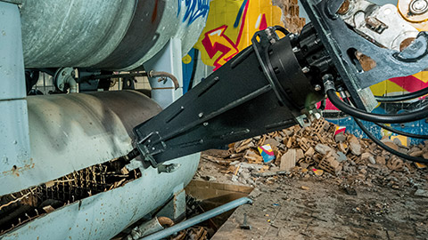
Concrete demolition shears enable controlled removal of components in layers without destabilizing the slope at the lower ground level. They reduce demolition forces to what is necessary and improve separation precision at structural edges, for example at base slabs, bearing edges, or foundation heads near sensitive slope toes. This targeted energy input protects subsoil fabric and reduces the need for re-compaction.
Non-explosive separation methods with rock and concrete splitters
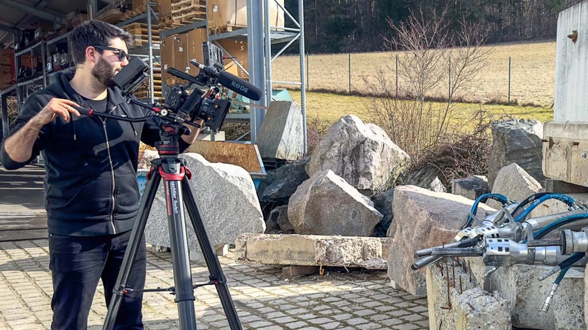
Rock and concrete splitters generate defined splitting forces in the borehole and minimize vibrations in the ground. This protects the toe of the slope, reduces crack risks in the remaining structure, and lowers the danger of soil loosening in the area of the lower ground level. These properties are particularly relevant in concrete demolition and special demolition, in rock excavation and tunnel construction, as well as in natural stone extraction. Limiting peak particle velocities supports compliance with project-specific vibration thresholds.
Additional tools in the context of the lower ground level
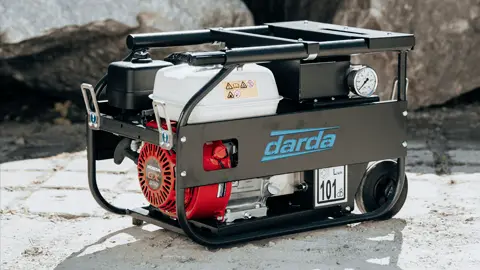
- Hydraulic power units provide constant pressure for concrete shears and splitting systems, enabling reproducible removal steps along sensitive terrain edges.
- Combination shears and multi-cutters support separation of reinforcement and attachments without introducing additional vibration into the slope toe.
- Steel shears and tank cutters are used for steel structures, tanks, or pipelines near the lower ground level when precise cuts are required and ground movements must be avoided.
- Drilling systems with dust extraction and positioning aids help to place boreholes precisely along the planned LGL.
Relation to typical areas of use
The lower ground level is a unifying parameter across several practical fields. It helps manage risks, plan material flows, and select the appropriate separation technique. Consistent LGL definitions streamline interfaces between design, surveying, earthworks, and deconstruction teams.
Concrete demolition and special demolition
In underpinning, foundation exposure, or partial removals, the lower ground level defines the permissible excavation depth and the location of working spaces. Concrete demolition shears allow layer-by-layer removal above the lower ground level, while rock and concrete splitters detach members without significant vibrations. Where required, temporary bearing layers at or above LGL maintain access without overloading slopes.
Building gutting and cutting
Even inside buildings, the lower ground level plays a role, for example when base slabs, basement slabs, or deeper floor build-ups are processed. The exact elevation prevents damage to adjacent utilities and minimizes settlement risks. Sawing and coring operations are aligned to LGL to avoid unintended undercuts.
Rock excavation and tunnel construction
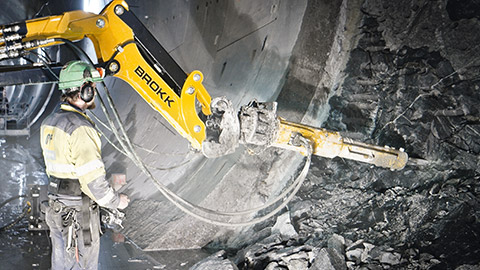
In rock removal, the lower ground level describes the controlled toe of removal. Non-explosive splitting limits vibrations and protects structures, utility lines, or slope toes. In tunnel heading and shaft structures, a clear lower ground level definition is decisive for cast-in-place foundation slabs and excavation pit safety. Accurate LGL control also supports water management and lining installation.
Natural stone extraction
The lower ground level marks the toe of the extraction face. Rock and concrete splitters allow opening of separation joints along the planned lower ground level, which can positively influence block quality and yield without additional blasting vibrations. Clean LGL execution reduces overbreak and preserves saleable volumes.
Special applications
In spatially confined locations, such as inner cities or sensitive infrastructures, the lower ground level limits impacts on adjacent buildings. Equipment selection and sequence – for example first separating with concrete demolition shears, then targeted splitting – are aligned with it. Monitoring at the slope toe and continuous elevation checks improve safety in such settings.
Stability, water balance, and environmental aspects
The lower ground level influences slope stability, water runoff, and the interaction with groundwater. These factors should be considered already during work preparation. Early involvement of geotechnical expertise and clear drainage concepts mitigate risks.
Slopes and slope toes
The lower ground level position determines the effective slope height. Low additional vibrations, for example through splitters instead of percussive methods, reduce the risk of slope failure. Temporary shoring is adapted to the lower ground level. Where necessary, staged excavation and intermediate berms distribute loads safely.
Groundwater and drainage
As the lower ground level approaches the groundwater level, dewatering and filter layers must be planned. Precise separation methods avoid unnecessary low points that collect water and facilitate backfill planning. Robust drainage detailing prevents erosion at the slope toe and maintains long-term functionality.
- Measures: edge drains, filter-stable layer build-ups, and controlled discharge
- Monitoring points for groundwater and pore-water pressure
Vibrations, noise, dust
Loads and sensitivities accumulate in the area of the lower ground level. Methods with low vibration and dust emissions – such as controlled shearing or splitting – contribute to emission reduction. Measurement of particle velocity and dust concentration supports compliance with project and regulatory limits.
Planning, documentation, and quality assurance
Careful planning and verifications regarding the lower ground level secure schedule, costs, and occupational safety. A continuous data path prevents deviations between design, execution, and billing. Transparent documentation strengthens verifiability for acceptance and accounting.
- Set references: Choose a height reference system and define control points.
- Measure: Capture existing conditions, profiles, and break edges.
- Target definition: Clearly dimension the lower ground level in plans and specify tolerances.
- Reconcile: Check construction progress against the target and document deviations.
- Monitor: For sensitive slopes, observe deformations and groundwater levels.
Deliverables include annotated plans with datum references, survey reports with accuracy statements, photo documentation, and as-built data for billing and handover.
Typical mistakes and how to avoid them
- Unclear reference elevations: Always include the zero level used and name it in the plans.
- Profiles too coarse: Plan sufficient measurement density at break edges and along slope lines.
- Underestimated vibrations: Evaluate methods with lower energy input, e.g., concrete demolition shears or splitters, at an early stage.
- Missing dewatering: Compare the lower ground level against the groundwater level and plan drainage.
- Uncoordinated equipment logistics: Plan access along the lower ground level so that slopes are not adversely loaded.
- Inconsistent terminology: Use “lower ground level” uniformly and distinguish it from component edges.
- Insufficient acceptance criteria: Define tolerances and control points for interim and final checks.
Practical examples: applications of the lower ground level
When deconstructing a foundation slab on a slope, the lower ground level is defined as the slope toe. First, concrete demolition shears cut the slab into panels; subsequently, rock and concrete splitters release the remaining bodies with low vibration so as not to destabilize the slope toe. In a second project, the lower ground level marks the target depth of an excavation bottom above utilities. Removal takes place in layers, hydraulic power packs supply shears and cutters for precise cuts at edges and bearing points. In a third scenario, a drainage trench is refurbished near a building: the LGL specifies the invert, splitting reduces ground disturbance, and filter-stable backfill restores function without overdeepening.
General notes on standards and organization
Planning and execution rules for surveying, earthworks, structural stability, and occupational safety must be taken into account. Requirements can vary by region and project. It is advisable to coordinate requirements for measurement accuracy, tolerances, dewatering, and documentation at an early stage and to align the equipment strategy – such as the use of concrete demolition shears or rock and concrete splitters – with the conditions of the lower ground level. Legal aspects must be checked on a project-specific basis. Integrating the LGL into project schedules, risk registers, and sustainability targets helps to minimize rework and emissions.
This page may be cited in commercial and non-commercial publications (e.g., specialist publications, forums, or social media) without prior permission.
Please feel free to copy the following link for your quote.